
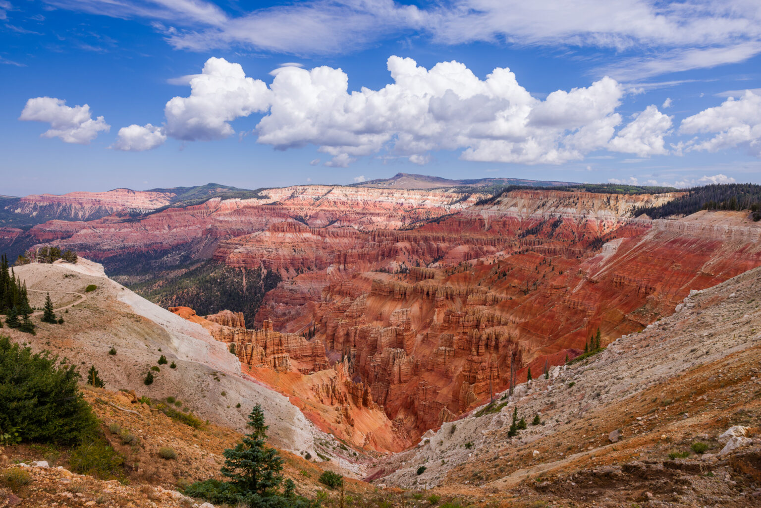
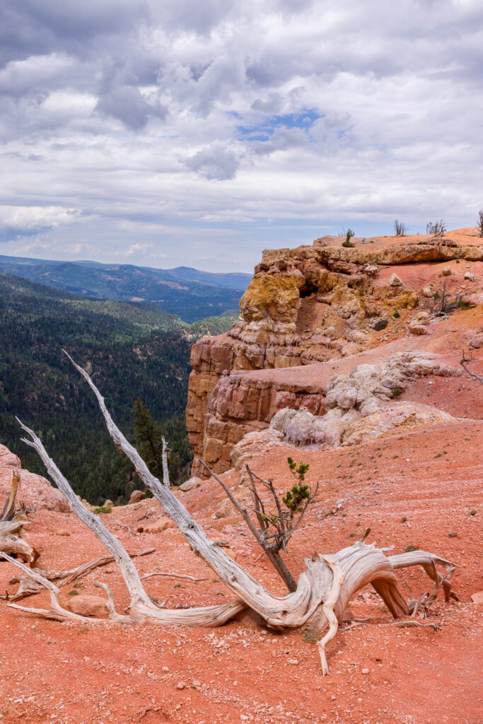
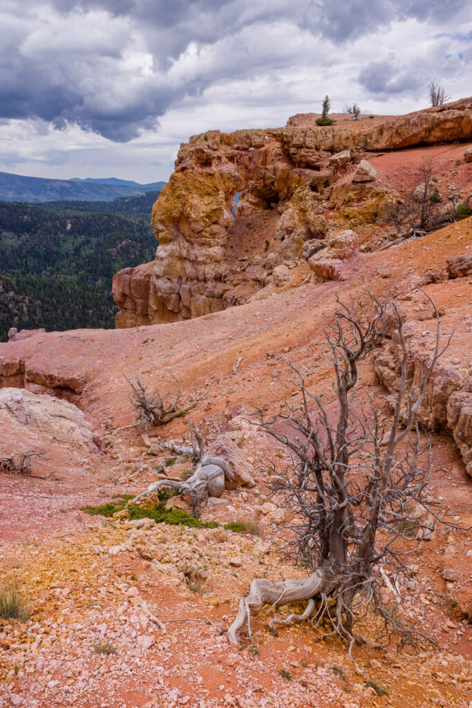
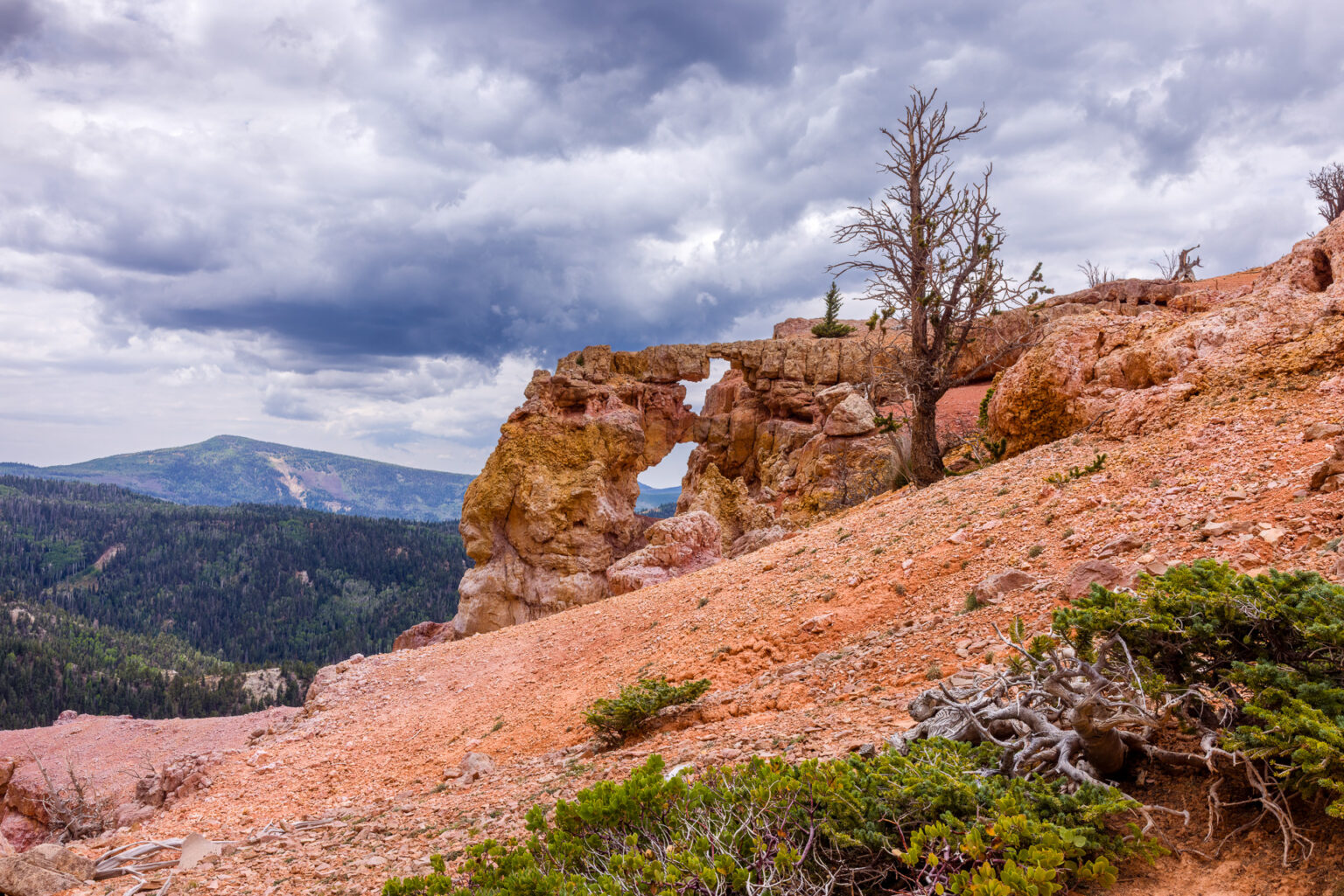
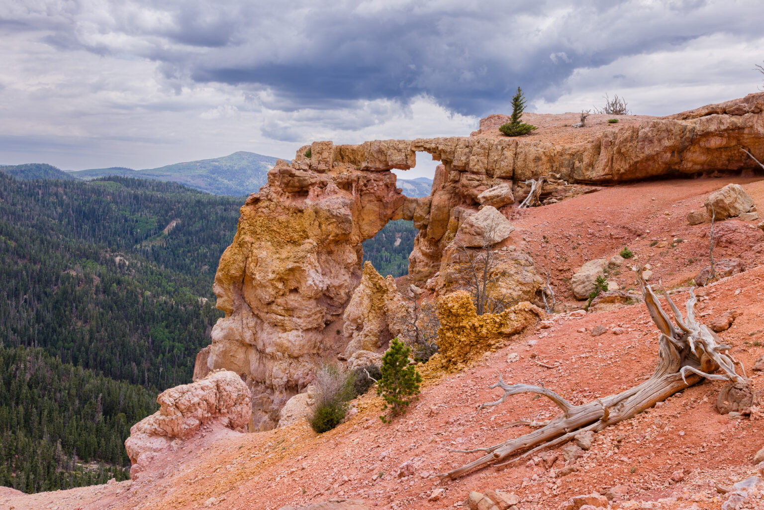
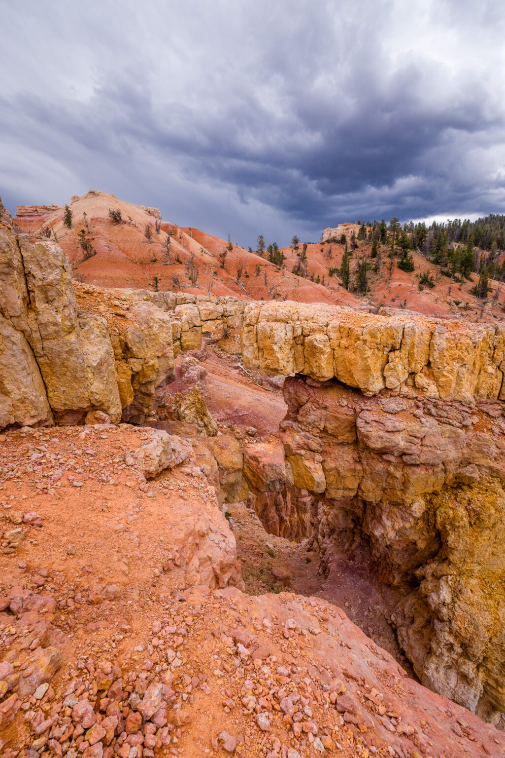
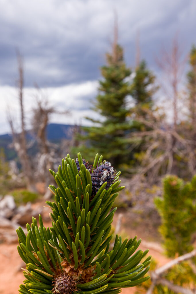
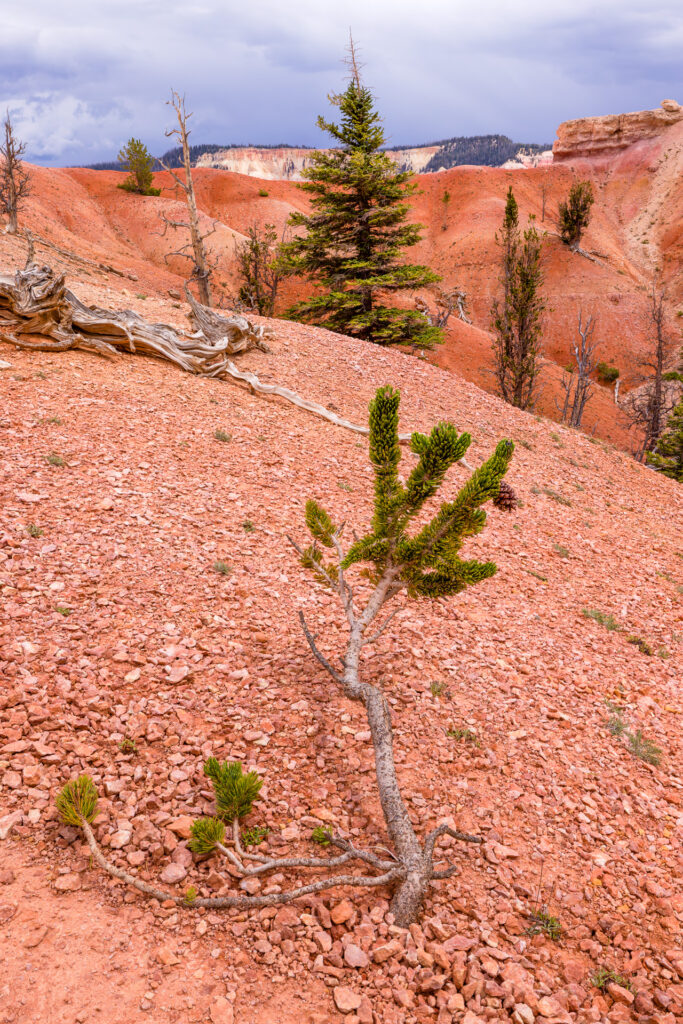
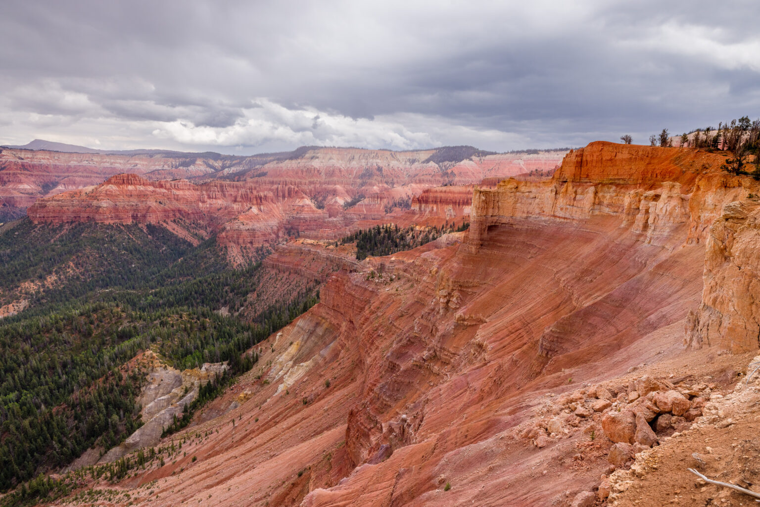
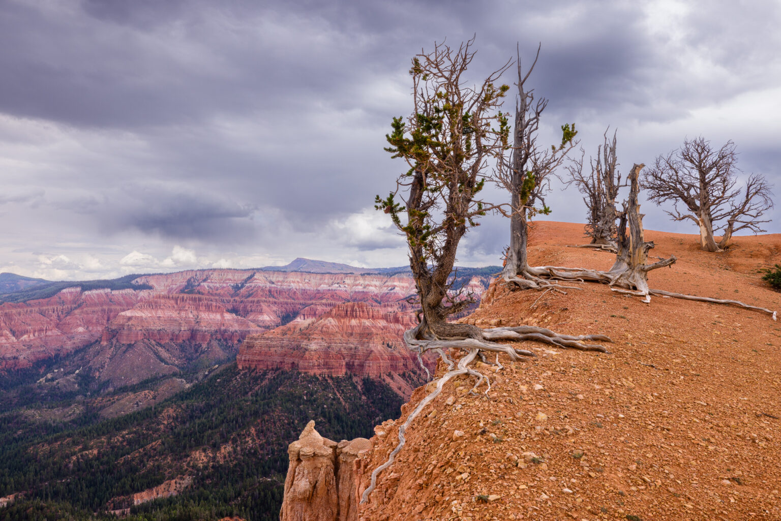
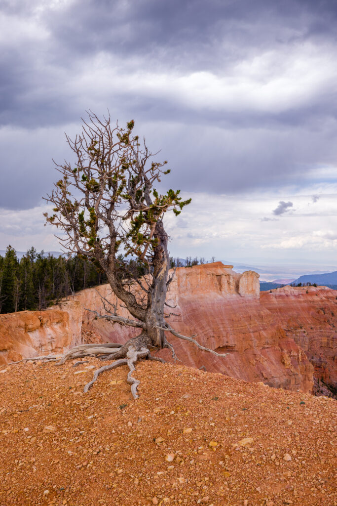
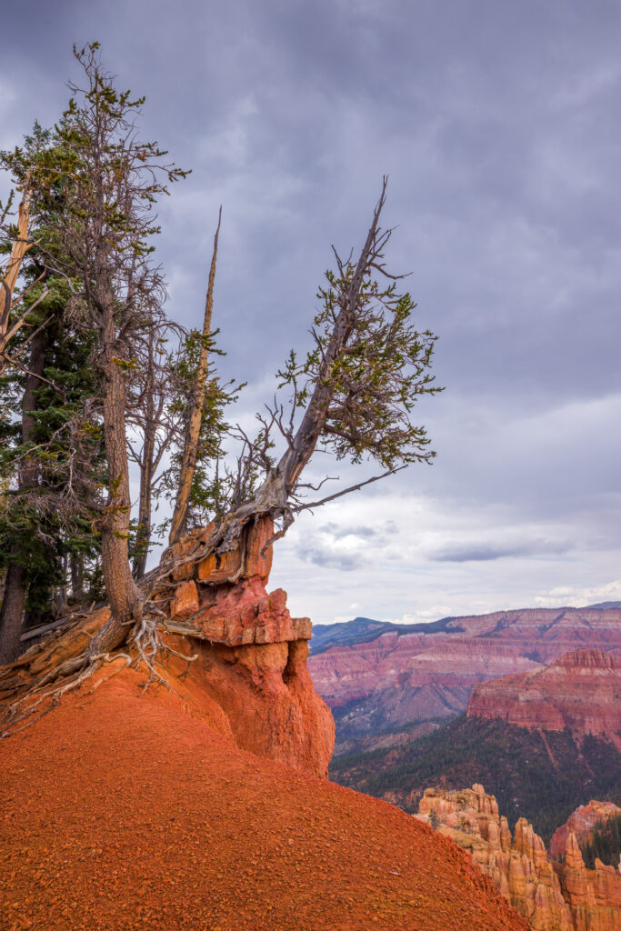
Bartizan ArchBristlecone Pine TreesCedar Breaks National MonumentLandscape PhotographyMountainsSouthwest UtahUtah
You might also like
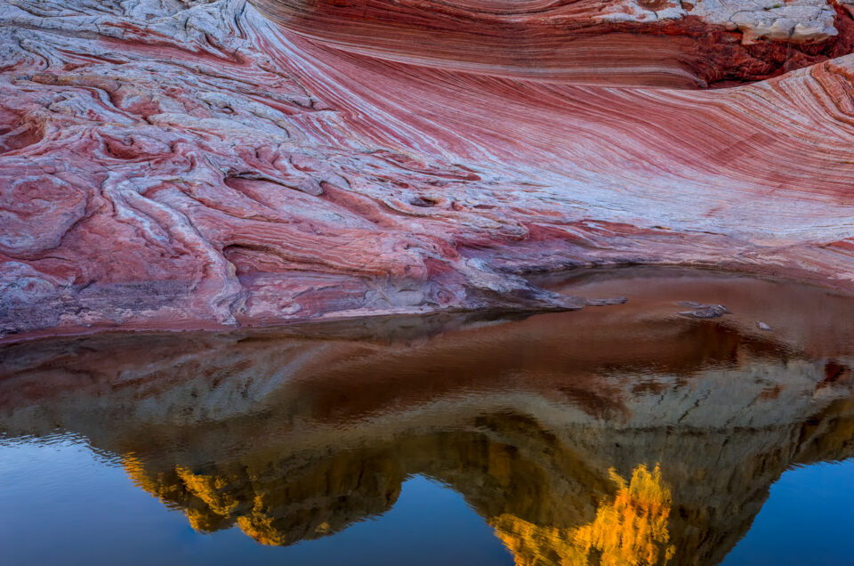
White Pocket Reflection
December 17, 2025
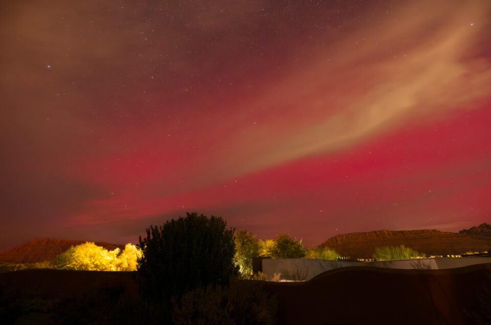
Northern Lights in Southern Utah
November 14, 2025
Art Festival Retrospective 2025
October 28, 2025


Leave a reply