Introduction
In my earlier post Antarctica – Elephant Island, I introduced the history of Shackleton’s ambitious 1914 Antarctic expedition — a venture that ultimately failed in almost every practical sense, yet remains one of the greatest survival stories ever recorded. As I described there, it was basically a failed expedition that ended in disaster, yet miraculously everyone survived.
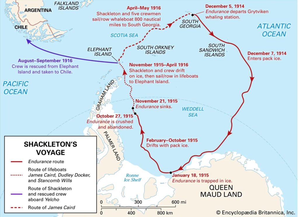
I recently found an excellent map from Encyclopedia Britannica that summarizes Shackleton’s entire journey, including the dates of key events. It’s a perfect visual companion to this story. To view it on Encyclopedia Britannica’s website, click here.
Shackleton's Antarctic Journey — A Quick Recap
In that earlier post, I covered the expedition from its departure at Grytviken aboard the Endurance, through the ship’s entrapment in the ice, the crew’s desperate relocation to Elephant Island, and finally the extraordinary 720‑nautical‑mile voyage of six men in a tiny lifeboat to South Georgia.
This post continues the story from the moment they reached South Georgia — focusing on Shackleton’s legendary crossing of the island on foot to reach the whaling station at Stromness. Just this hike alone is an amazing story of endurance and survival.
Shackleton's Journey Across South Georgia
After surviving the harrowing 720 nautical mile lifeboat crossing, Shackleton’s small crew landed in King Haakon Bay on the island’s southern coast. The whaling stations they needed to reach — and the only hope of rescuing the 22 men still stranded on Elephant Island — were on the north side. Their lifeboat was battered, the seas were brutal, and winter had set in. It would be impossible to try to row around the island.
Therefore, Shackleton made a decision that would become one of the most iconic moments in polar history: He, Tom Crean, and Frank Worsley would cross the island on foot.
The crossing was roughly 20 miles, but distance alone doesn’t tell the story. They climbed steep passes, navigated glaciers, fought through deep snow, and descended a frozen waterfall — all in 36 continuous hours without sleep.
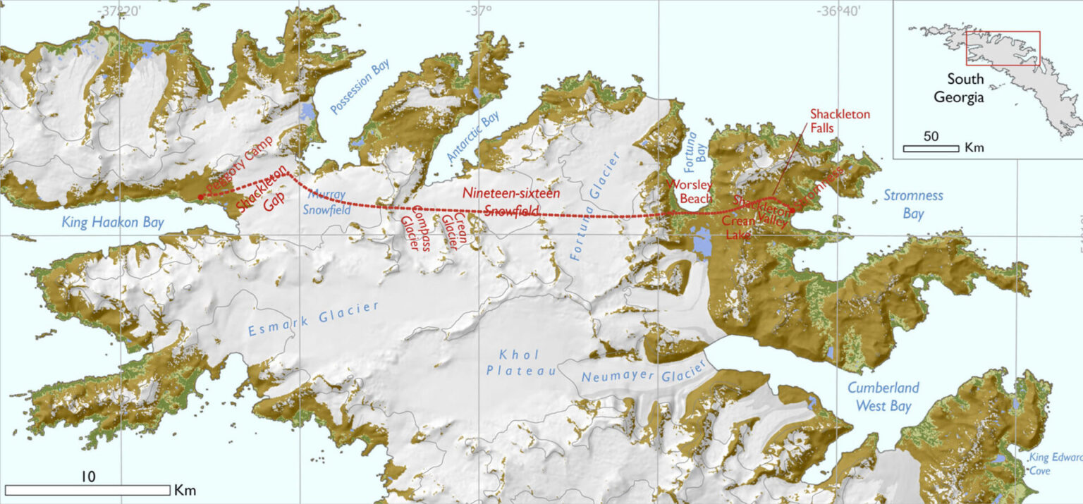
The map below shows a rough approximation of their route, including the snowfields they crossed in 1916.
The Descent to Fortuna Bay
The trio repeatedly attempted to find a safe route down from the high mountains, only to turn back each time. Eventually, in desperation knowing they couldn’t survive much longer, they chose a slope where they couldn’t even see the bottom. They each sat down on the snow one behind the other and slid down toboggan style for a distance of 6 km.
Miraculously they survived. (This 6 km slide is the reason no one attempting to recreate their entire hike has ever been able to beat their time.)
They believed they had reached Stromness — but instead found themselves at Fortuna Bay, still one more pass away.
Finally, they made it to Stromness, their faces covered in black soot, their hair matted, and their clothes completely stuck to their skin. The station manager who knew Shackleton, couldn’t even recognize him until he spoke.
Our Visit to Fortuna Bay
Our ship arrived at Fortuna Bay on the morning of January 9. For some of us, a hike recreating Shackleton’s trek from Fortuna Bay to Stromness was planned for the afternoon.
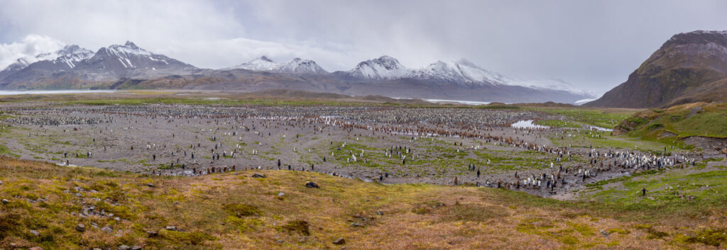
Before beginning our hike, we visited a King Penguin colony across a broad plain — a rare chance to walk nearly two miles round‑trip.
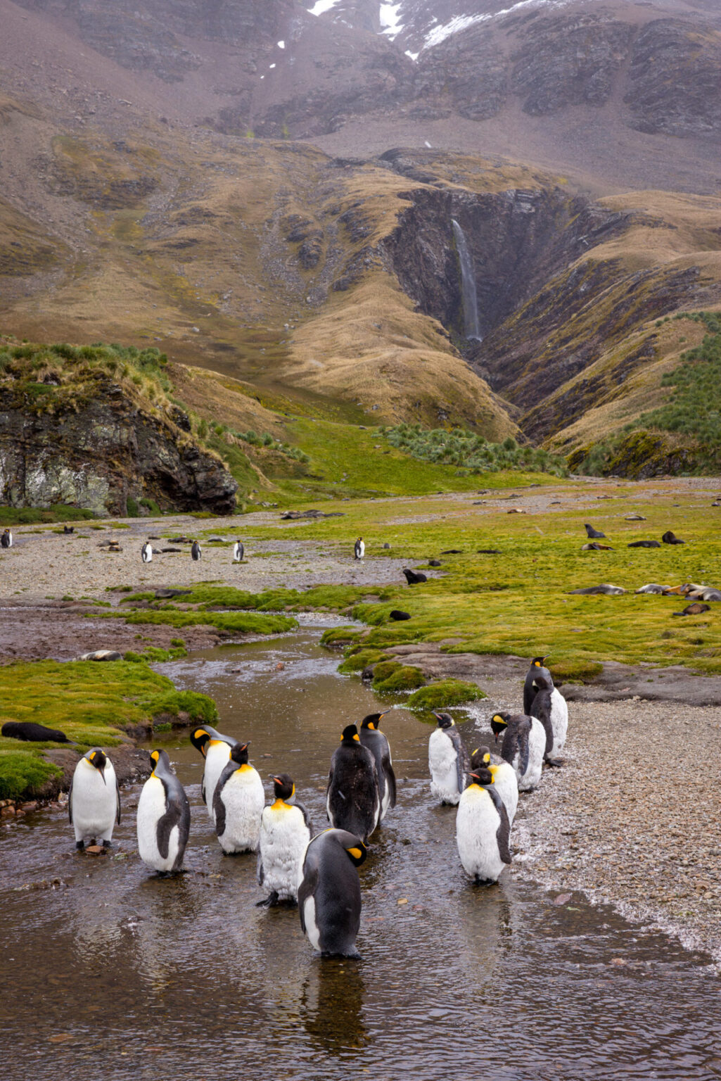
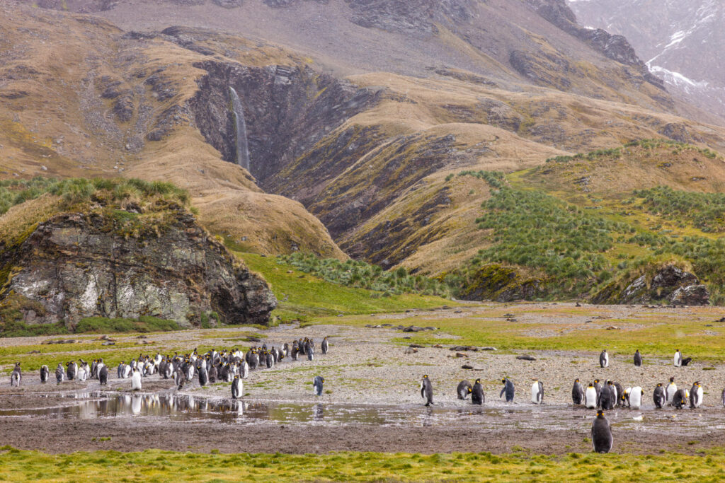
Along the way, was a waterfall. It was so nice, I had to photograph it twice. The penguins in the foreground made it even better.
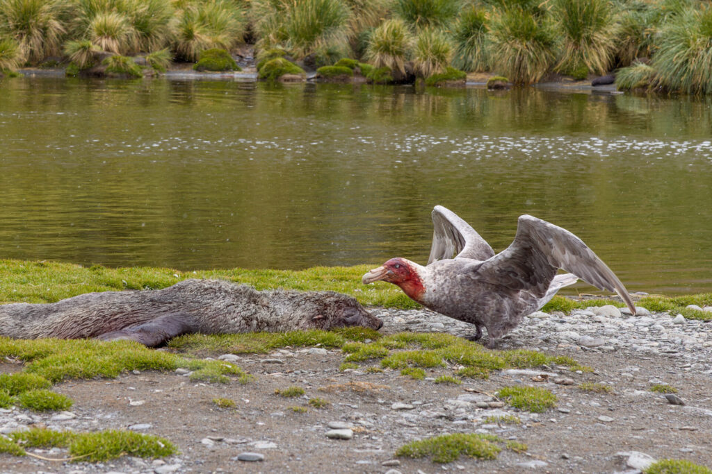
We even found a Southern Giant Petrel scavanging a dead seal. Sorry, it is a little gross with the blood all over his head, but this is nature.
Hiking from Fortuna Bay to Stromness
Only 39 people chose to hike the final portion of Shackleton’s route. The ship’s crew warned that it was strenuous and steep — but for a seasoned hiker, they were exaggerating.
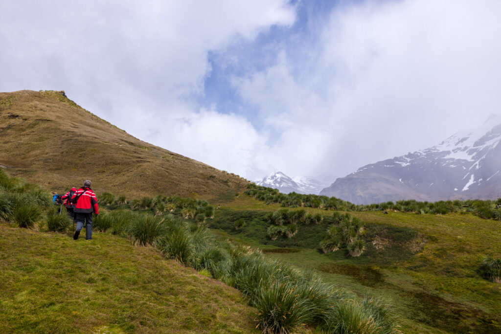
At the start of the hike, passing the fur seal pups in the bushes, it was warm with only a light breeze and pleasant partly cloudy weather. Going uphill made it feel even warmer. My expedition jacket and sweater soon came off and were stuffed into my backpack.
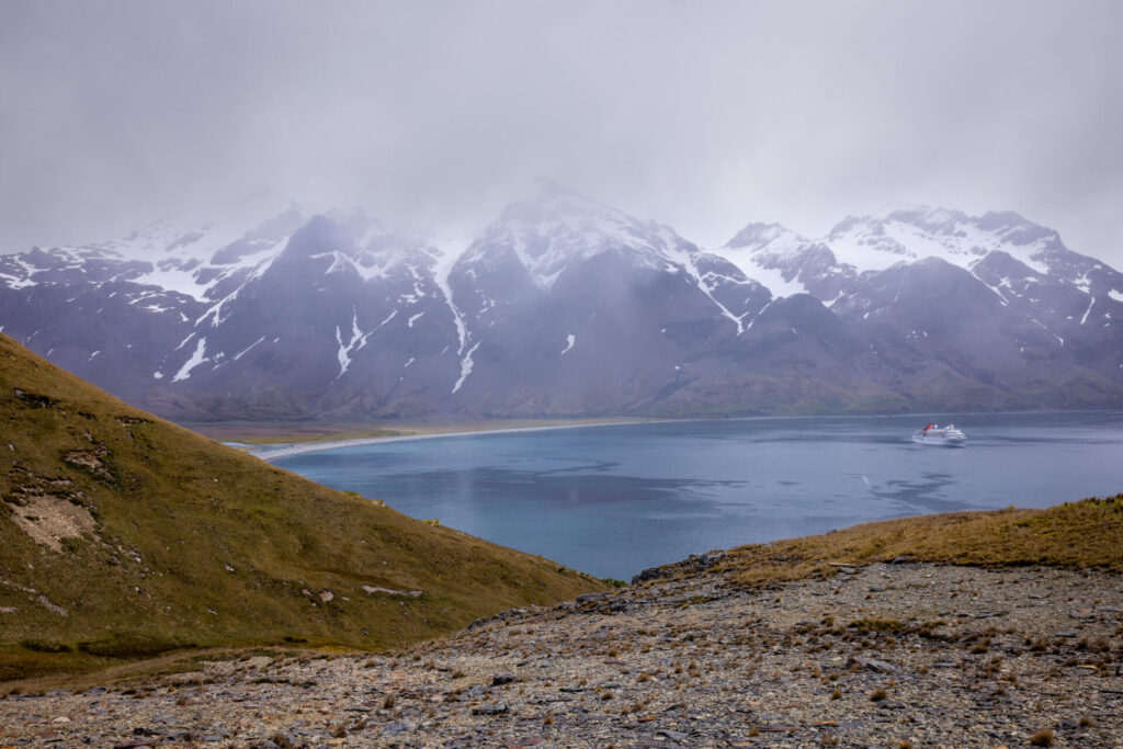
Eventually, we gained enough elevation to look back at Fortuna Bay and see our ship anchored below. The others, who did not do the hike, sailed the long way around to Stromness — and still beat us there.
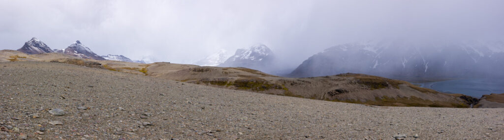
As we climbed higher, the vegetation disappeared, replaced by rocky terrain and sweeping mountain views.
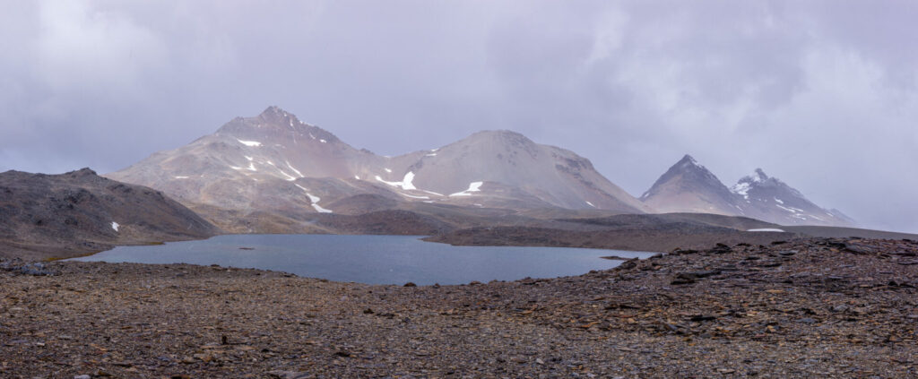
Near the summit, we passed Crean Lake, named for Tom Crean who had accompanied Shackleton on this crossing. Snow began to fall, the wind picked up, and temperatures dropped.
Shortly after Crean Lake, at roughly 1000 feet, we reached the summit. By now the snowing was falling harder, the wind was howling, and I was now quite cold. My expedition jacket and sweater came out again from my backpack and into them I went.
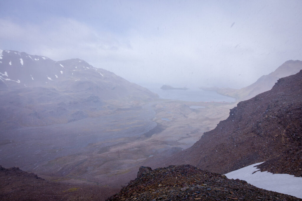
After a gentle downhill section, we came to an overlook and saw Stromness below — its red‑roofed buildings faint through the mist.
Thinking about it, I was feeling cold in what were extremely good conditions compared to what the three people from the expedition experienced. They did not have nice expedition jackets, waterproof boots and pants, as well as all the amenities we have become accustomed to. And the weather conditions they had to endure were much more severe. Imagine the bitter cold they experienced on their 36 hour non-stop trek across South Georgia.
The Descent to Stromness
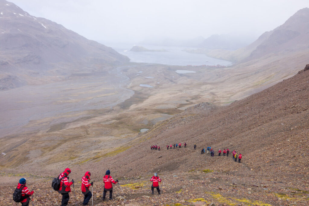
The descent was steep but manageable, though slippery in places.
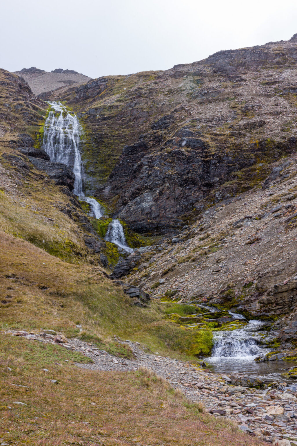
We reached the waterfall Shackleton’s team had descended — mercifully unfrozen for our group — and navigated the wet slopes around it.
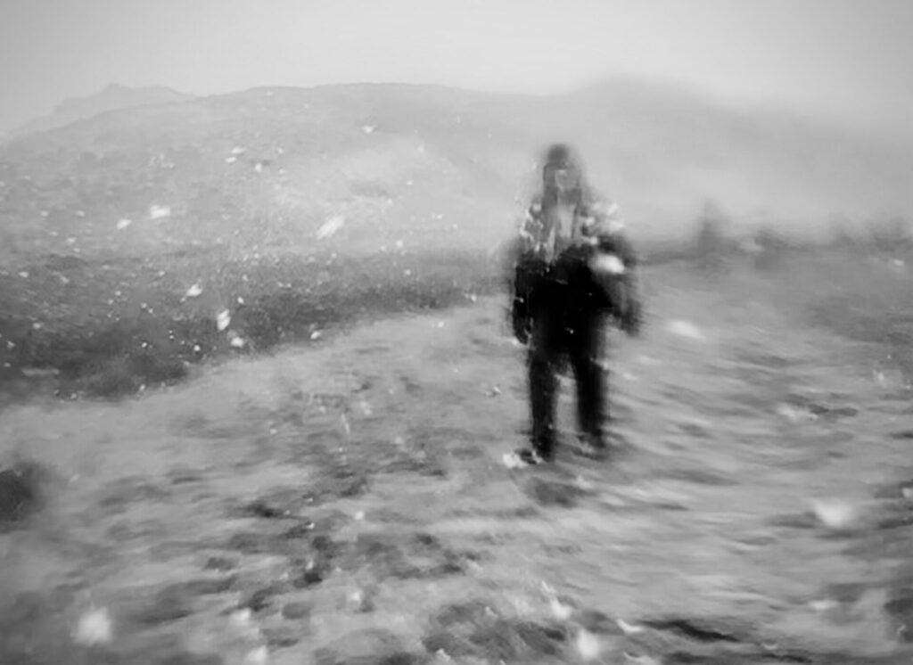
My wife, who came by ship, took a great shot of me walking along the plain on my way into Stromness. One thing that made it so great was that her cell phone focused on the snow near the lens, so everything else, including me is out of focus. You can see from the photo that it was now snowing pretty hard.
I intentionally edited the photo to be black and white to create a feeling of an old photograph that could have come from 1916. You could even imagine the person in the photo being Shackleton walking into Stromness. (But, no, I am not comparable to him.)
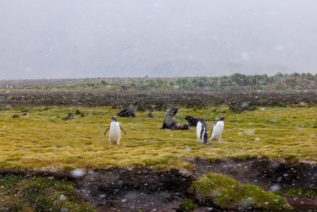
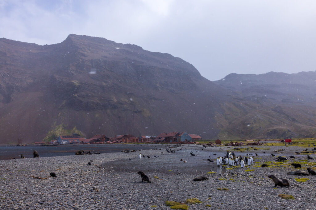
Along the long walk across the final plain to Stromness were some penguins and fur seals in the heavy snow.
And then, one last photo, just coming into Stromness.
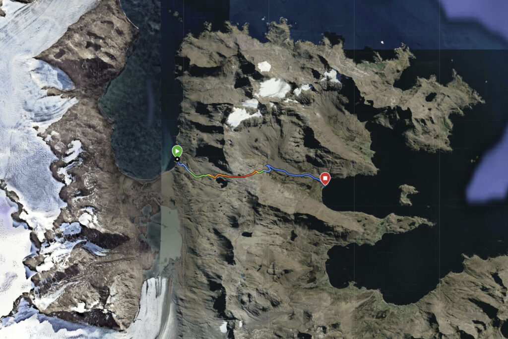
The GPS track of our hike, Fortuna Bay on the left and Stromness on the right, shows the elevation profile clearly, with the summit shortly after Crean Lake.
Grytviken — Shackleton’s Departure and Return
Although Shackleton reached Stromness after the crossing, he had originally departed South Georgia from Grytviken. After returning to Stromness in 1916, he traveled repeatedly between the stations while organizing the rescue of his 22 men still trapped on Elephant Island in worsening conditions.
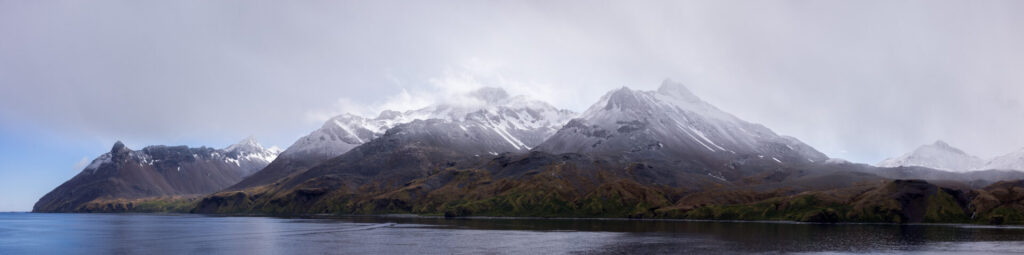
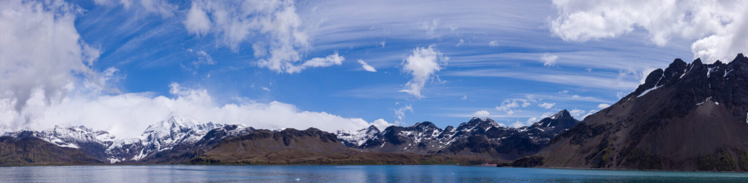
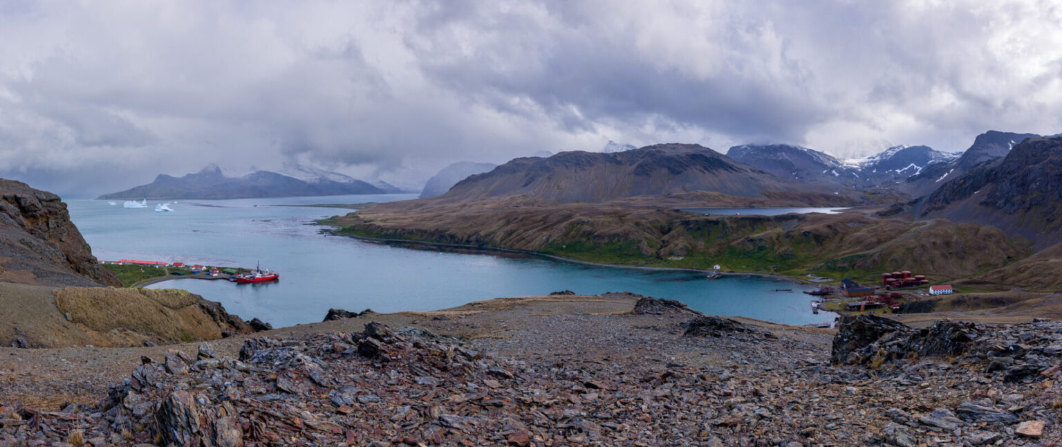
We visited Grytviken the day before our hike. On the ship, in the harbour, was a fantastic panoramic scene of the bay with the tall, rugged mountains in the back. High above them, streams of clouds arched across the sky. You can even make out the red-roofed buildings of Grytviken to the right of center.
The hills above, presents another gorgeous view of the landscape surrounding the station.
Today, Grytviken and Stromness are abandoned. Only the post office remains active. The rest is preserved only for safety — a museum of rust, history, and memory. Of course we couldn’t resist mailing some postcards to our friends from the post office.
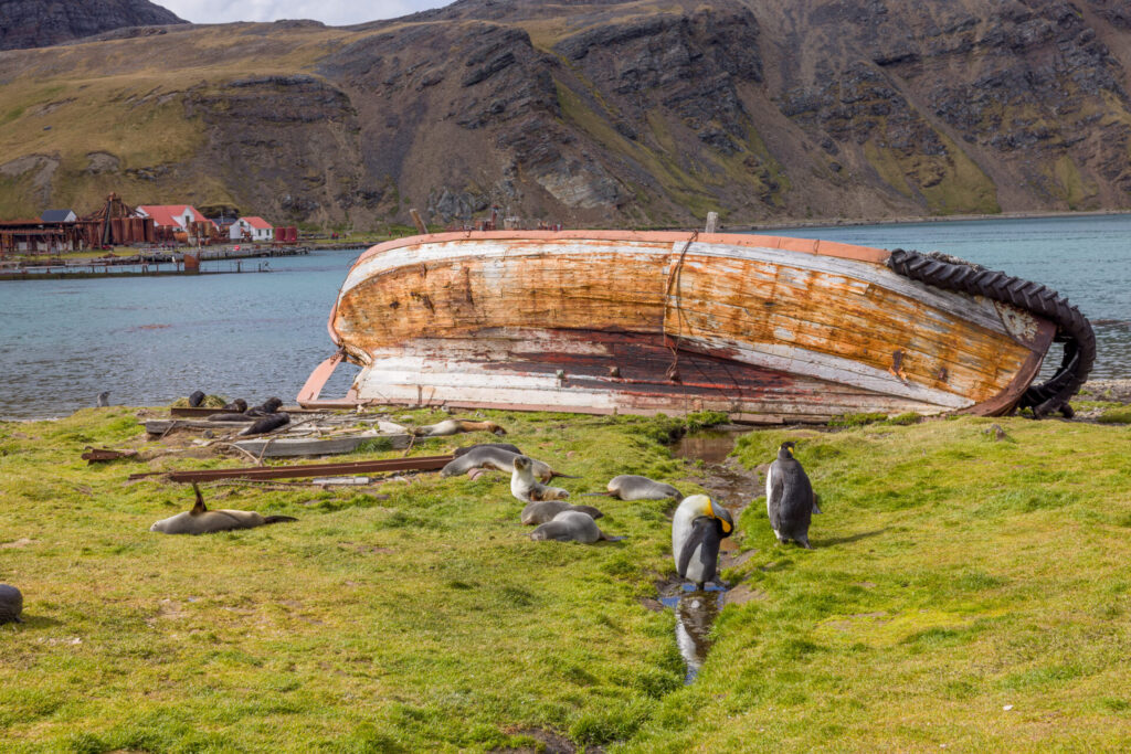
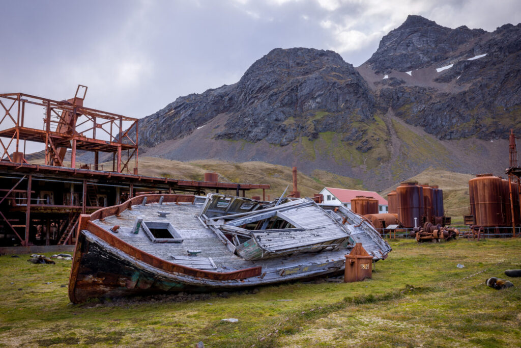
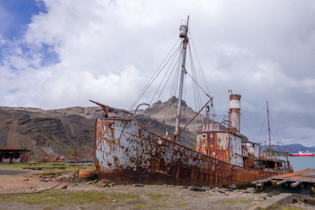
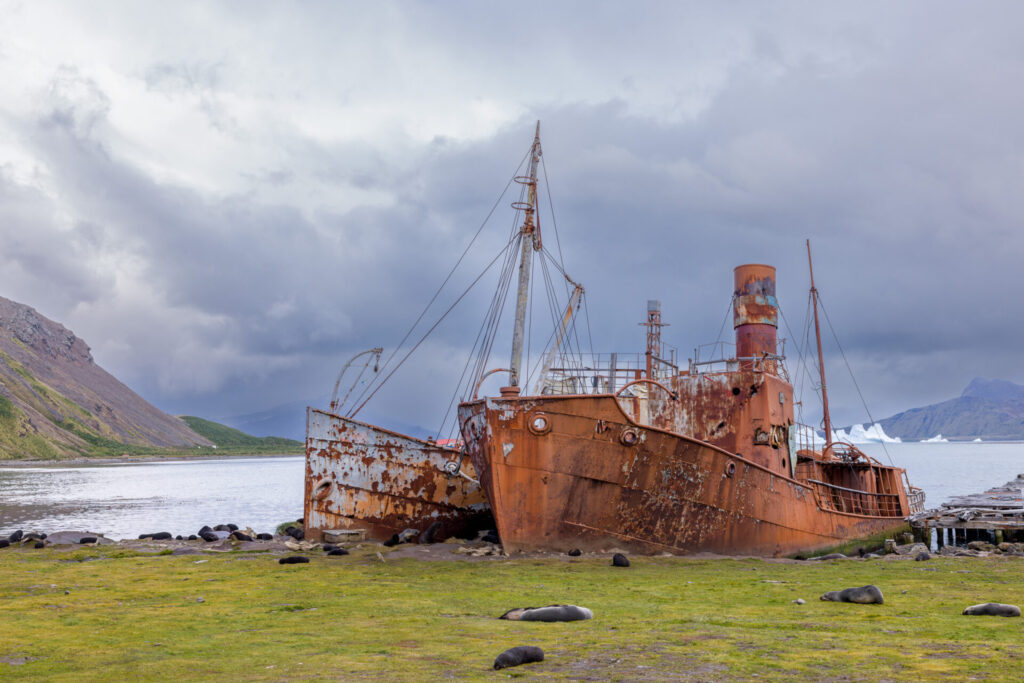
There are a number of abandoned ships here. I tried to identify the abandoned ships online. There are many photos of them, but almost no names given for them except for the Petrel. So I used AI to query. I had to correct it several times because it gave me the same name for some of the boats. So be sure to take my naming with a huge grain of salt.
The boat below was a small whaler’s punt. It was a small work boat used by whalers for short trips and harbor tasks.
The small wooden boat below was another workboat or motor launch, known as the Karrakatta (a.k.a. Karrakatta II). It was used to ferry supplies, transport workers, general harbor duties, small-scale coastal trips.
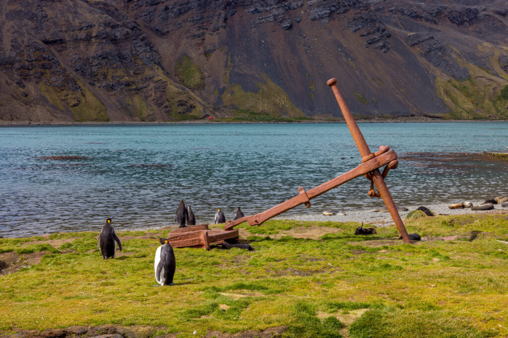
The photo below shows an old anchor abandoned on the beach. It is large, but I don’t know what ship it belonged to.
The photo below is a much larger steam powered whale catcher called the Petrel. Note the harpoon gun on the front of the ship. It was built in 1928 in Oslo, Norway. This ship was a fast, maneuverable ship used to catch Fin whales, Blue whales, and Humpbacks. It was later converted to a sealer and finally intentionally beached after the station closed in 1960.
The two ships below were also used as whale catchers. The one on the left is the Dias, but was originally called the Viola. It was originally a British Trawler built in 1906 in Beverly, England. It was converted later to be a whale catcher in the 1920s in Oslo, Norway and arrived at Grytviken in 1927. Historically, the Dias is significant because she is one of the last surviving steam trawlers from the early 1900s.
On the right is the Albatross another whale catcher which was later converted to a seal catcher. The Albatross was built in 1921 in Svelvik, Norway. She was part of the Compañía Argentina de Pesca fleet, and was used for catching whales and towing carcasses back to the station for processing.
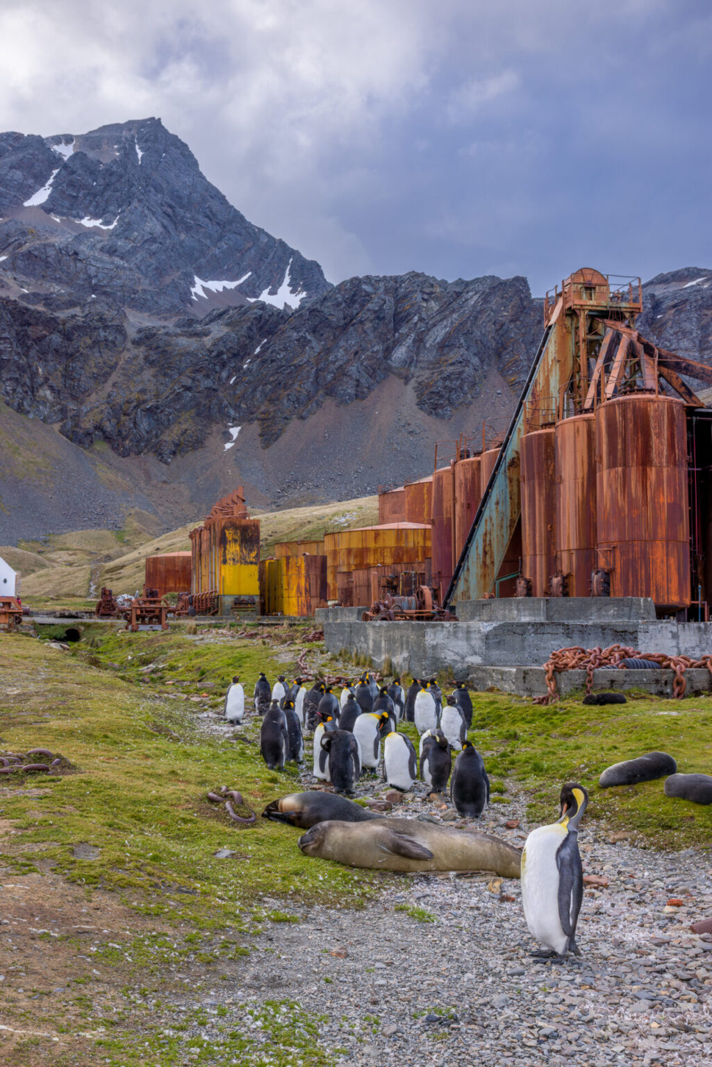
There were many large oil tanks used to store whale oil which was the primary export of the station. In those days, whale oil was used for lighting, lubrication, margarine and soap production, and industrial applications.
Although there is rich history here, I am glad it is all in the past. Expeditions aside, the thought of all the whales and seals being slaughtered in such huge numbers, perhaps in the thousands of whales per season, is best left to history. This trip has brought all that into perspective and it is reassuring that slowly, but surely, life is making a comeback from those days.
Closing Thoughts About Shackleton
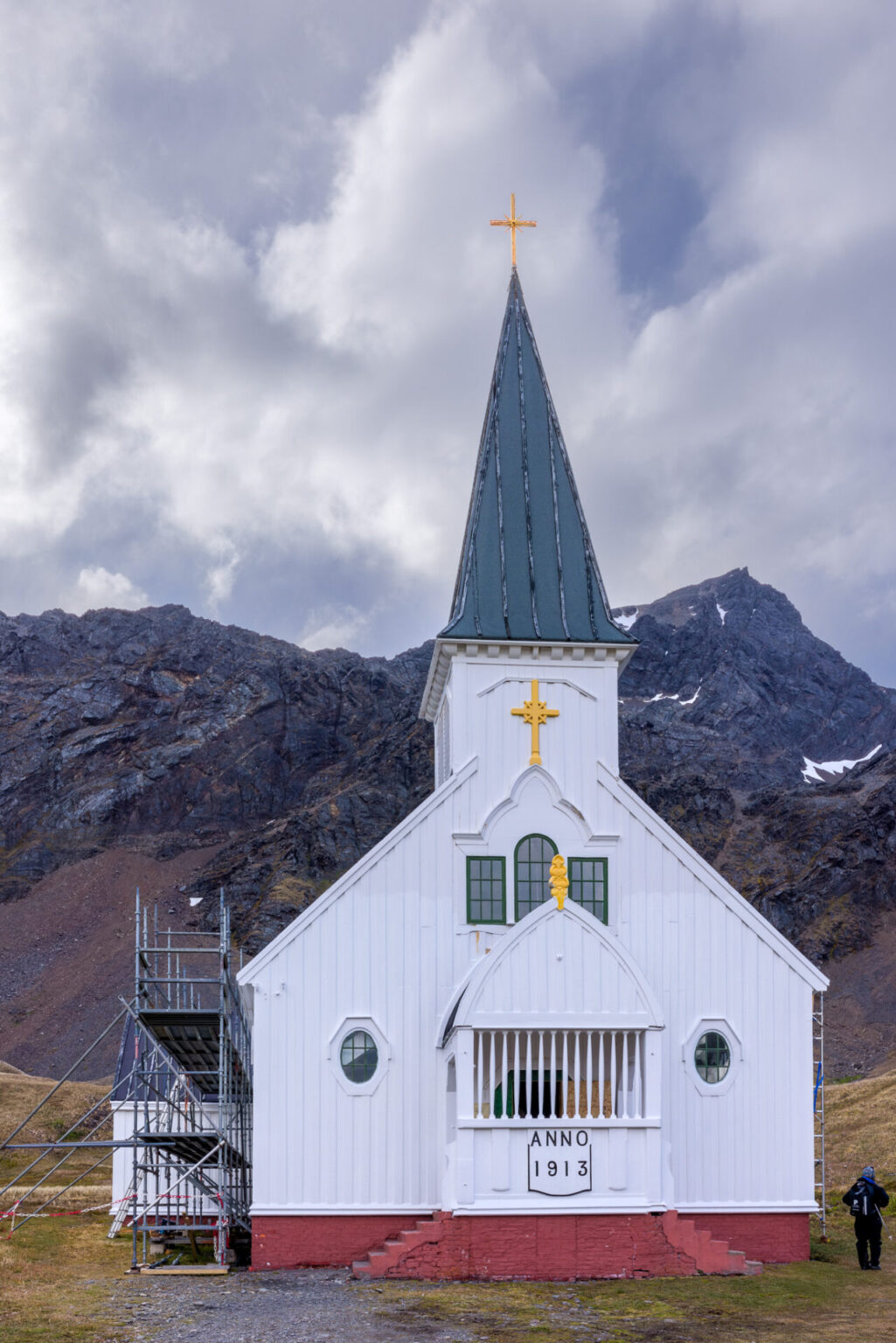
In 1921, Shackleton attempted one more expedition known as the Quest expedition. This expedition would have been an attempt to circumnavigate the Antarctic Continent. Shakleton arrived at Grytviken in January 1922. He went ashore with several crew members and visited a small Lutheran church. But that same night death caught up with him after returning to the ship.
His body was already en route to Britain, when his wife ordered the ship carrying his remains to turn around and bring him back to Grytviken. His life revolved around South Georgia and Antarctica and she wanted him to be buried there. And so he was.
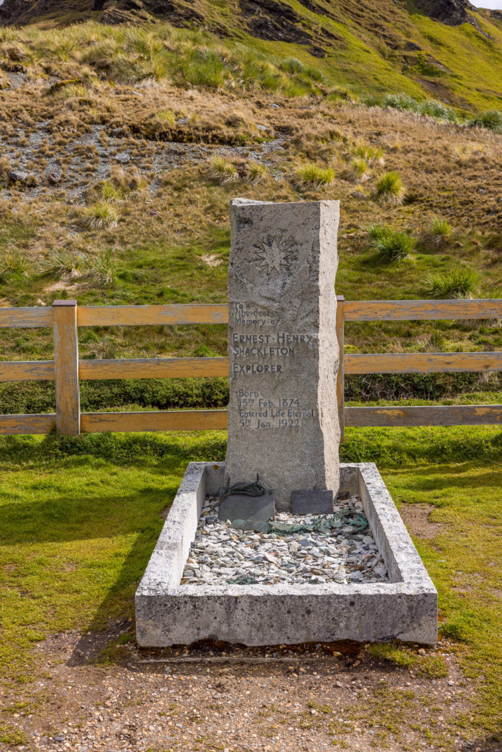
The photo below shows his grave just outside the buildings of Grytviken. Other members of his crew of the Endurance were also eventually buried around him. It is a place where tourists lift a glass of whiskey to his memory, as did we. It is also a quiet, powerful memorial to the men of the Endurance.
Stay Tuned For More
My next blog post will be about another large King Penguin Colony at Salisbury Plain. Stay tuned for further adventures on the island.
To continue to the next exciting post in this series, click here: Coming soon…
To start from the beginning of the series, click here: Antarctica – Ushuaia to the Melchior Islands


Leave a reply